

Regarding vibrant nightlife, most people think about great clubs, vivid entertainment, and casinos, but there are some cool outdoor activities. For a hiking lover who wants to have a rich experience of nature, it is necessary to find out the 10 Best Hiking Trails and areas in Las Vegas. Whether interested in well-preserved views, steep hiking experiences, or quiet walks, success is guaranteed on these trails. Below are highlights of the 10 best hiking trails and areas in Las Vegas, which provide you with all the necessary information to plan your next hike.
Here are the 10 Best hiking trails and Areas in Las Vegas
1. Red Rock Canyon
Location: Mountain Springs, NV 89161, United States
Map of Red Rock Canyon
The first in the list of the ten best hiking trails and areas in Las Vegas is the Red Rock Canyon. Filled with red sandstone cliffs, the untamed trails of this place include the Calico Tanks and Ice Box Canyon. It is as if this is how the beauty of Las Vegas would look like.
2. Mount Charleston
Location: Nevada 89124 USA
Map of Mount Charleston
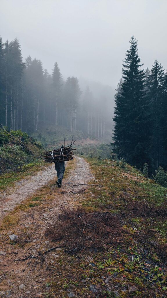
Mount Charleston which is also on the list of the 10 Best hiking trails and areas in Las Vegas is highly recommended for those who want to avoid the scorching sun. Some trails include Cathedral Rock and Mary Jane Falls, which pass through forests and have cooler temperatures therefore people can hike year-round.
3. Sloan Canyon National Conservation Area
Location: Nawghaw, Poa Road, Henderson, NV 89052, United States
Map of Sloan Canyon National Conservation Area
Of the 10 Best hiking trails and areas in Las Vegas, Sloan Canyon offers the solitude signified by the site’s rock paintings. An added advantage is that it evokes less traffic than other nearby trails, making it a perfect place for hikers who wish to be alone or even lovers of history.
People also search:
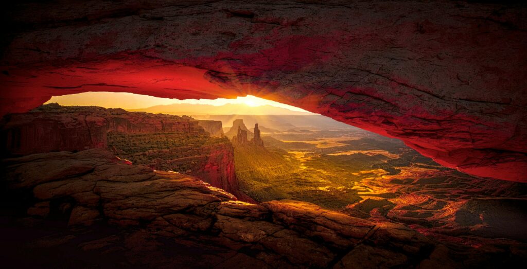
4. Lake Mead National Recreation Area
Location: 10 Lakeshore Rd, Boulder City, NV 89005, United States
Map of Lake Mead National Recreation Area
Between the 10 best hiking trails and areas in Las Vegas, Lake Mead will surely fill the need for a little water and a lot of hiking. The Historic Railroad Trail is a beautiful trail that passes through different shelters and tunnels and sees the lakes, making it one of the best hiking destinations with a natural history viewpoint.
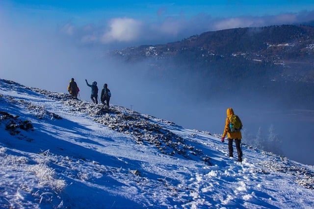
![]()
5. Valley of Fire State Park
Location: Moapa Valley, NV 89040, United States
Map of Valley of Fire State Park
Located in Nevada, the Valley of Fire is one of the best rock formation landmarks on the list of 10 best hiking trails and areas in Las Vegas. Popular treks such as the Fire Wave and the White Domes Trail make one appreciate the remarkable topography of the park and its features such as the called-up prehistoric drawings.
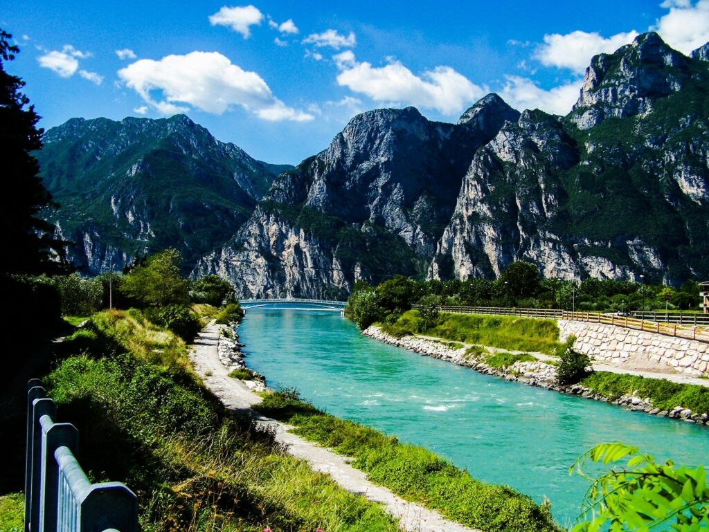
6. River Mountains Loop Trail
Location: Nevada, USA
Map of River Mountains Loop Trail
A 34+ miles long trail, it can be used for hiking as well as cycling, different seasons of the year are preferred for this use. It is ideal for enlarging the list of the 10 Best hiking trails and areas in Las Vegas for lovers of rather long hiking trails encircling the River Mountains with the nice scenery of Lake Mead and Hoover Dam.
7. Lone Mountain Trail
Location: Lone Star Hiking Trail, Coldspring, TX 77331, United States
Map of Lone Mountain Trail
The ride up the Lone Mountain is short but incredibly steep and if one makes it to the top the view of the Las Vegas Valley is breathtaking. Recommended for the locals it makes it to the list of the 10 Best hiking trails and areas in Las Vegas if you seek a short outdoorsy run nearby.
8. Calico Basin
Location: Nevada 89161 USA
Map of Calico Basin
Adjacent to Red Rock Canyon, you can find Calico Basin – a rather accessible area with beautiful trails and red rocks of diverse intensity. One of the 10 Best hiking trails and areas in Las Vegas it is family-oriented and provides nice and quiet walk.

9. Fossil Ridge
Location: Nevada 89135, USA
Map of Fossil Ridge
If one wants something that is not very steep, then Fossil Ridge, provides views of the Red Rock Canyon and the desert landscape. It is near the city hence a worthy nominee in the 10 Best hiking trails and areas in Las Vegas with beautiful sceneries.
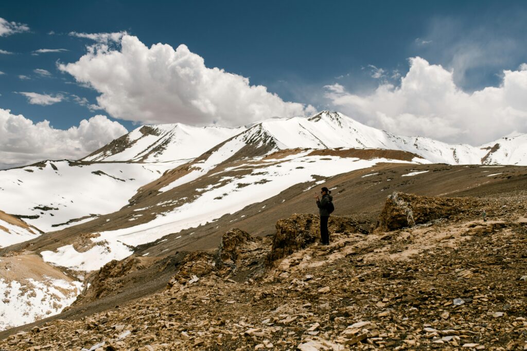
![]()
10. First Creek Canyon
Location: NV 89161, United States
Map of First Creek Canyon
The last on the list of the 10 Best hiking trails/areas in Las Vegas, First Creek Canyon is easy to moderate in nature and very easily accessible. It Contains a waterfall that is covered throughout the winter, but emerges in full glory after the rainy season thus making it an attractive site for nature trippers.

Conclusion
By reading about the 10 best hiking trails and areas in Las Vegas, you will find that the city has more than just gambling and fancy hotels. From Red Rock Canyon to Sloan Canyon, these trails are really unique and very appealing to hikers who crave the natural beauty that encompasses the city of Las Vegas.
FAQS (Frequently Asked Questions)
1. Which are the most comfortable hiking trails for hiking enthusiasts in Las Vegas?
There are always queries for the best camping sites near Las Vegas and some of the famous hiking spots which are the Red Rock Canyon, Mount Charleston, and the Valley of Fire hiking spots among others.
2. What are easy hiking trails in Las Vegas?
Some hikers look for easy or family trails in Las Vegas and a few of them include Calico Basin, Historic Railroad Trail, and Lone Mountain Trail.
3. What is the best, the most beautiful hike near Las Vegas?
Trips such as Fire Wave at Valley of Fire or Turtlehead Peak in Red Rock Canyon offer photographic scenes.
4. Which winter trails are there for hiking in Las Vegas?
As the climate in Las Vegas is relatively cold during winter, people are looking for winter hiking spots such as Red Rock Canyon and Mount Charleston.
The distance from Red Rock Canyon may vary with different options of transportation: If you are driving, the distance is about 17,5 miles; by taxi, the distance is approximately 20,1 based on the time taken; via public transport, it is about 37min by bus or 27min by train; walking, it 30min of walk.
Some of the popular questions posed include distance and travel time to Red Rock Canyon, a famous hiking trail around the Las Vegas area. It is normally about 20- 30 minutes away from Las Vegas Strip.
5. Where are the best places for hiking around the Lake Mead area?
Many visitors look for paths in the Lake Mead National Recreation Area, e. g. the Historic Railroad Trail which offers beautiful views and historical sites.
6. Can one find hiking paths for dogs in the Las Vegas area?
People in possession of their pets especially dogs tend to seek such hikes as the Lone Mountain Trail, Calico Basin, and Mount Charleston trails.
7. Which trails can be recommended for the sunrise or sunset in Las Vegas?
There are some trails such as Turtlehead Peak or the White Domes Trail in the Valley of Fire, people look for the best sceneries of the sun at its rising and setting places near Las Vegas.
8. This will help answer a variety of questions about Las Vegas such as what are the best hiking places for families?
If families fail to find easy, safe trails such as Calico Basin and the Historic Railroad Trail, they are forced to look for shorter trails with manageable distances and beautiful vistas.
More Travel Guides For World Tour
Thanks for looking! I hope this guide gave you some ideas for 10 Best Hiking Trails And Areas In Las Vegas | A Complete Tour Guide
Create a budget planner for your trip to Europe by understanding this Blog. Highly suggest reading this Europe Budget Planner
Don’t forget to bookmark my blog for more Travel guides coming soon!